

Territorial precision.
Environmental intelligence.
Topographic surveys, georeferencing of rural properties and environmental studies.
Split the cost into up to 12 installments.
From the field survey to the delivered document.
i3Geo works on three fronts: topography, georeferencing and the environment. Here is what we deliver in each one.
Topographic survey
We measure the land in the field and deliver the plan with contour lines, spot elevations and profiles, ready for an engineering project, a land development or construction.
- Planimetric and altimetric plan
- Contour lines
- Profiles and elevations
Georeferencing of rural properties
We measure the boundary vertices, close the perimeter and calculate the area, to the standard required for registration with the property registry office and certification by INCRA (Brazil's National Institute for Colonization and Agrarian Reform).
- Georeferenced plan
- Descriptive report
- INCRA certification
Environmental regularization
We map the permanent preservation areas (APP) and the legal reserve on the same survey, the basis for the property's environmental regularization and licensing.
- APP (permanent preservation area)
- Legal reserve
- Environmental licensing
Every decision starts
with reliable information.
Illustrative property · Elevation data: SRTM (NASA), via Terrain Tiles
i3Geo in numbers.
- 12 years
- of field experience
- +850
- properties surveyed
- +42,000 ha
- measured and mapped
What is your situation?
The need for a survey is not always obvious. Choose the option closest to your case.
What solves it
Georeferencing
Fences get moved and rebuilt over the years. We measure the boundaries and show where the boundary line actually is.
From first contact to delivery.
E-01
Conversation and quote
We understand the need, analyze the documents and define the right service.
E-02
Field survey
The team goes to the site and measures with the methodology suited to the terrain.
E-03
Processing and drafting
The data becomes plans, descriptive reports and the technical documents for the service.
E-04
Delivery and follow-up
We deliver the material and follow the procedures through to completion.
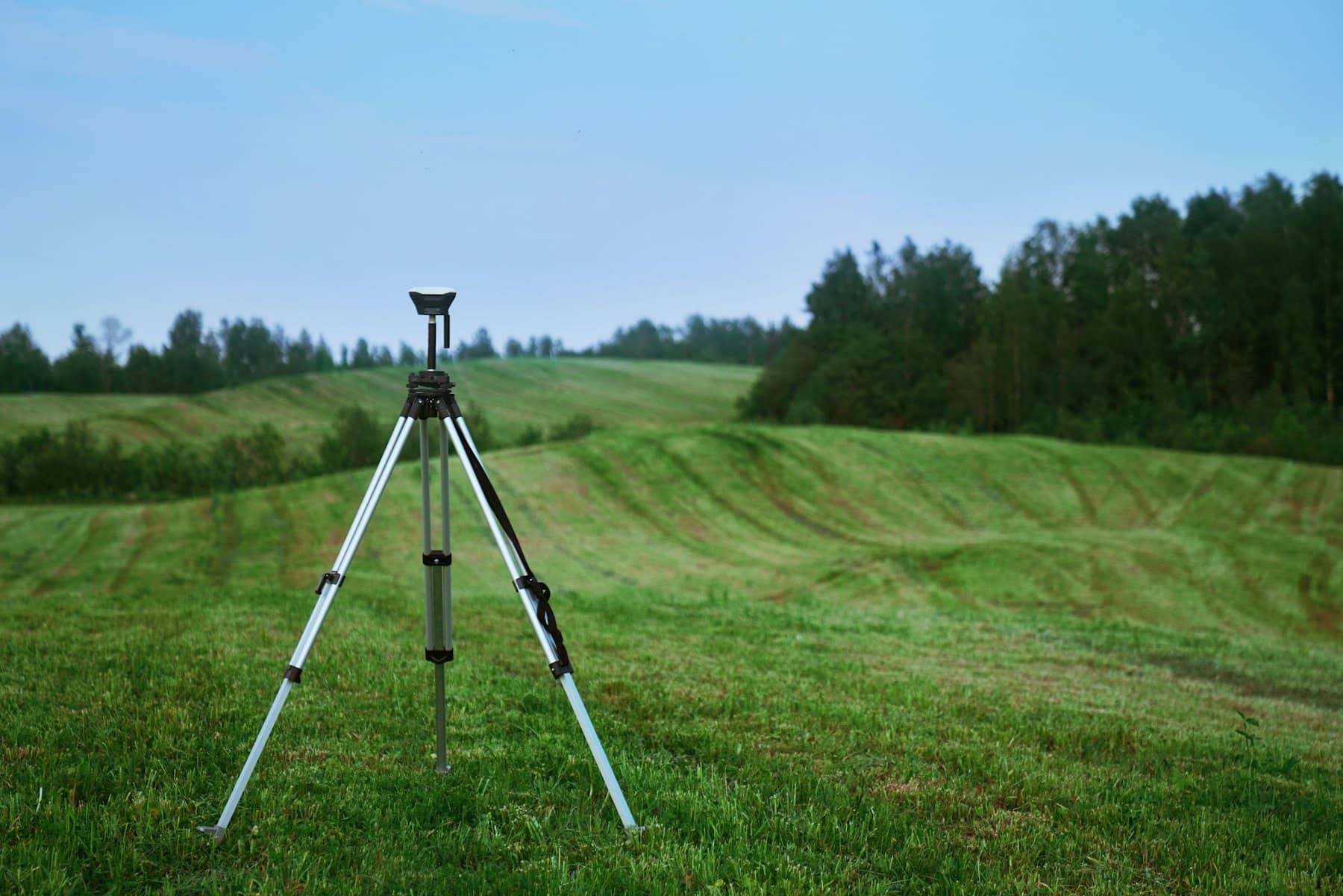
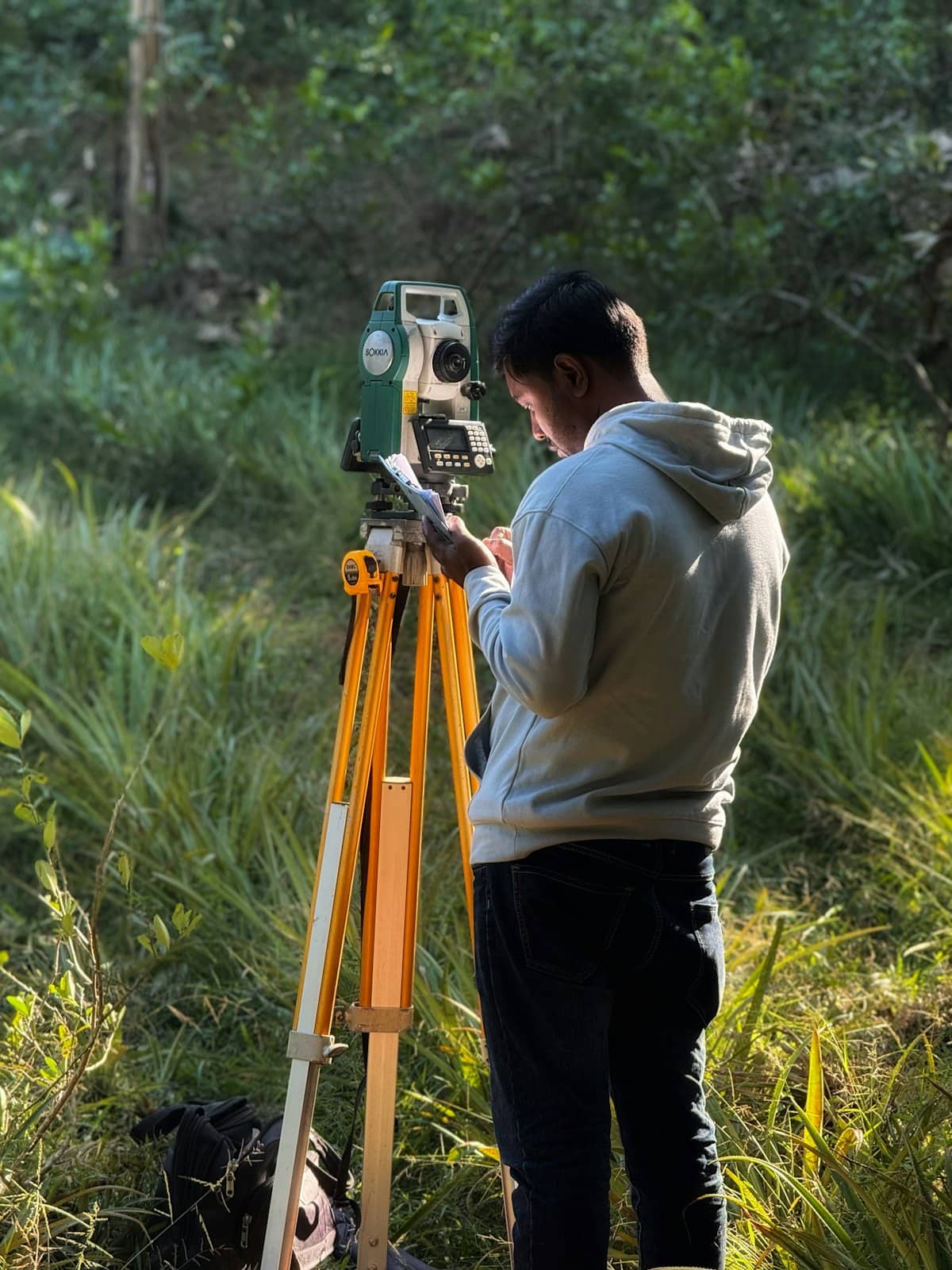
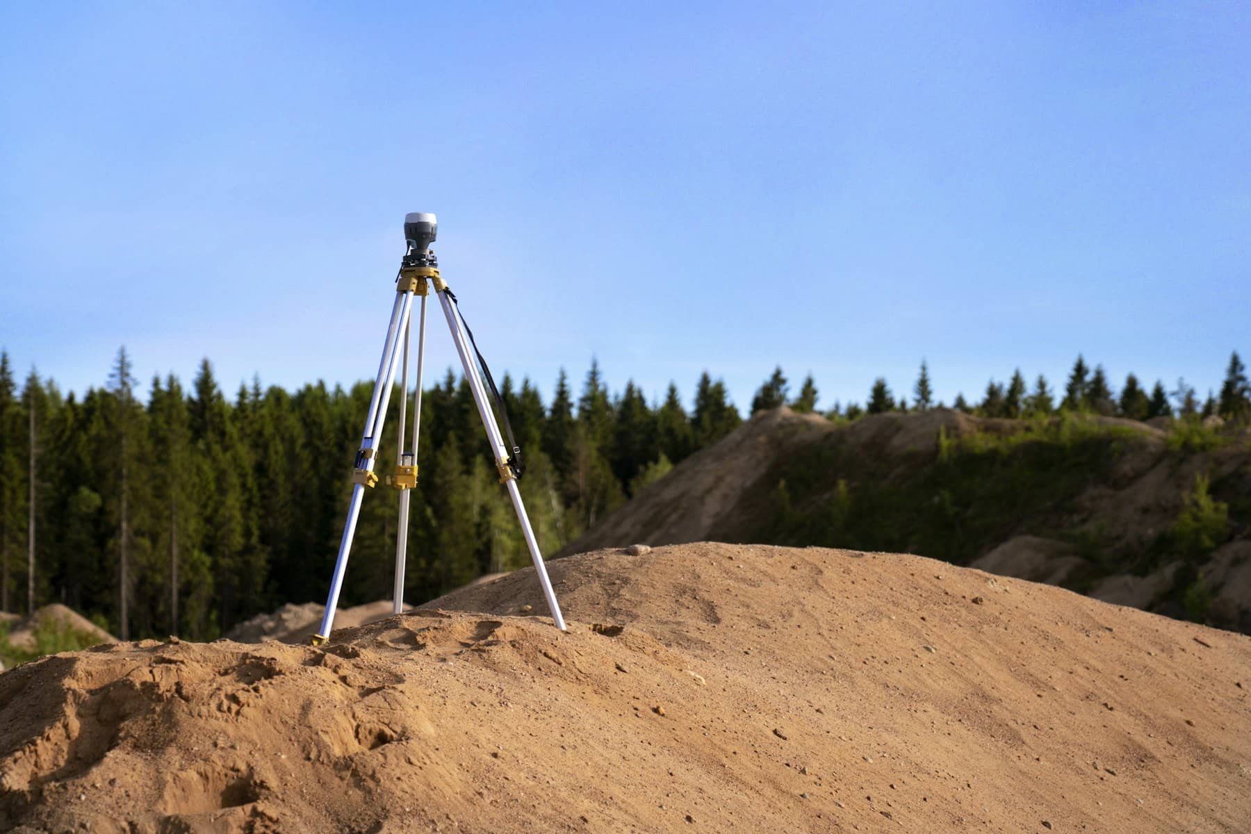
There is no single way to measure every piece of land.
Relief, vegetation, buildings, access and reference points change the way we work. The team assesses the situation, defines the methodology and interprets the data collected.
Draw up your quote request.
- Service
- Area
- Location
- Contact